


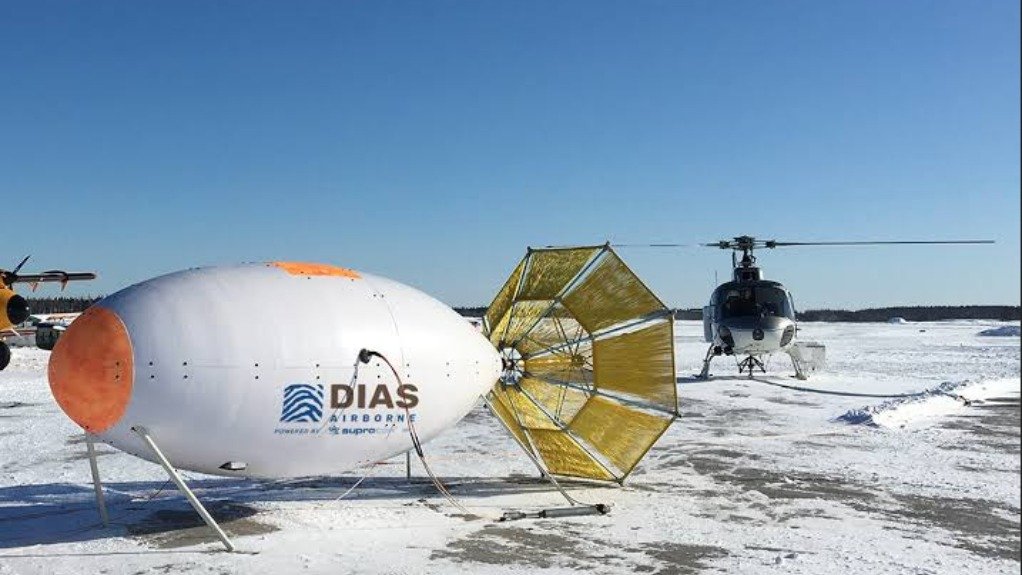
Canadian advanced subsurface imaging company Dias Geophysical has commercialised two new technologies called DSTX (Deep Search Transmitter) and QAMT (Quantum Airborne MagnetoTellurics), which address two very different exploration challenges, but provide clients with better subsurface data for decision-making, reduced exploration risk and improved probability of discovery success.
Dias president Glenn Chubak says that finding the critical mineral deposits needed for the future requires companies to continually improve the technologies that are used in exploration surveys.
He adds that improving the ability to locate new deposits in an earth-friendly way is an important part of developing the secure mineral supply chains Canada and its international partners require in the decades ahead.
Chubak considers DSTX to be the most powerful deep mineral exploration transmitter in the world, designed to complement Dias’ patented DIAS32 3D IP distributed array technology and its AI-leveraged, cloud-based software platform called Caravel.
“DSTX delivers 2.5 times more power than any other transmitter, enabling deeper, more efficient surveys, and more accurate models while reducing emissions through its innovative energy storage system. Designed for large-scale exploration, DSTX‘s increased power enables deeper target investigation, faster identification of prospective mineral systems, and better-informed exploration decisions,” Chubak explains.
In turn, QAMT uses naturally occurring electromagnetic signals generated by solar and atmospheric activity to image the subsurface to depths exceeding one kilometre. Dias developed QAMT in partnership with German quantum technology company Supracon.
The heart of the system is a Supracon Superconducting Quantum Interference Device sensor which is among the most sensitive magnetometers ever developed.
“Adapting this technology for operation aboard a rapidly moving helicopter has required years of engineering and the development of complex motion-correction algorithms. The resulting data is unmatched and will support mineral exploration programmes around the world, combining deep subsurface imaging with the speed and extensive coverage of airborne surveys,” Chubak states.